Community Projects
Archeoscan has developed a wide experience of working with local community groups on various archaeological projects. One of our more popular activities is a community based geophysical survey of a site of historical interest in the local area. We provide the equipment and the expertise and the community povides the manpower for a real hands-on experience in conducting a geophysical survey. We can process the data and supply a report that can compliment other research. Here are some of the projects which may provide inspiration for one of your own.
Recent projects have included:
Test pitting around Sherborne, Gloucesterhire (July 2017)
Work with the Sherborne History Society of Gloucestershire continuing the search for the lost Medieval church of St John. A number of test pits were located over geophysical anomalies that hinted at the medieval centre of the village
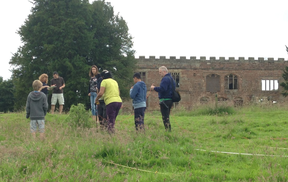
Schools and public survey of Astley Castle, Warwickshire (June 2016)
Work with the Landmark Trust during the open days at Astley Castle to conduct geophysical surveys in the grounds of the castle looking for associated structures. Pupils from 3 local schools took part in the survey and members of the public over the open weekend.
>>
Community Survey of Albany Green Bristol (May 2016)
Work with St Barnabus Primary School and local community in Bristol with Myers-Insole Local Learning.
Geophysical Survey of Marlborough Castle (Jan to Mar and Dec 15) and excavation (2016 2019)
Working with the staff and students from Marlborough College we have been trying to identify the remains of the Bailey of the 11th century royal castle that had incorporated the Marlborough Mound as its motte. The location of King John's chamber, the walls of the curtain wall and buildings within the Bailey may yet be glimpsed under the patches of grass remaining in the Wilderness area at the heart of the College.
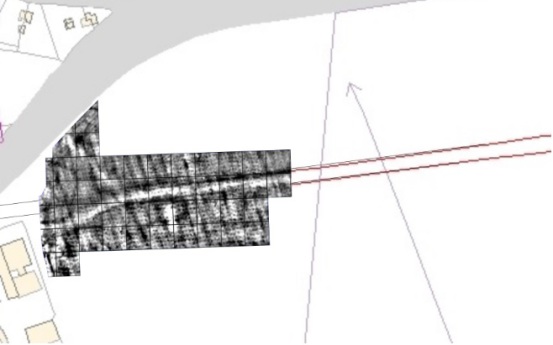
Geophysical Survey of Roman Road West of Gloucester (Nov 2014)
A geophysical survey with members of Hucclecote Metal Detecting Club and Gloucestershire Archaeology explored the Roman road that led West from Gloucester into Wales. The road surface and roadside buildings are clearly evident around a junction in the roads.
Robinswood Hill Gloucester (April to June 2014)
A community geophysics project with Gloucestershire Wildlife Trust and Gloucester City Council Archaeology Service
Campden House, Chipping Campden (March 2014 and March 2015)
A geophysical survey wth Campden History society looking for the footprint of Campden House that was burnt down in 1645 and the layout of the formal gardens
St Annes Well, Brislington Bristol (October 2013)
A community geophysical survey in the the envrions of St Annes well with the Brislington Community Archaeology Project.


